
Walk a New Smyrna Beach Street
A reliable street directory search separates ownership from occupancy. The Volusia County Property Appraiser Classic search can return every parcel on a named street when Street Number is left blank. Its list identifies the owner of record and site address. It does not name renters, relatives, or every person present. Map the same segment next, then follow selected parcels into deeds, permits, lawful voter-record channels, and older address directories.
- Enter the street name in VCPA Classic. Leave the number blank, select New Smyrna Beach when useful, and export or map the parcel list.
- Compare each site address with its owner mailing address and homestead flag. Treat both as evidence, not proof that the owner lives there.
- Open the parcel in the county or city GIS viewer. Note the Short Parcel ID, AltKey, lot, block, subdivision, tax district, and adjacent parcels.
- Search the owner in the Volusia Clerk deed index. Work backward through grantors and grantees, then use the legal description to avoid mixing similar addresses.
- Add city permits, code files, properly obtained voter data, and a reverse directory. Each adds a different date and role to the address trail.
The working chain is address to parcel, parcel to owner, owner to deed, then address to other dated evidence. That order prevents a city directory entry or mailing address from being mistaken for present-day residence.
Search New Smyrna Beach by Address
VCPA Classic is the central by-address tool for New Smyrna Beach. County documentation says the roll updates weekly. Every displayed search field is optional, so a researcher can move from one house number to a whole street, subdivision, or ZIP. The result controls can select parcels, switch to a list-map view, export to Excel, or make a mailing list.
| VCPA field | Entry format | Best street use |
|---|---|---|
| Short Parcel ID | 12 digits, no dashes; wildcard allowed | Return to one exact parcel |
| Owner Name | Last name first; partial text | Test an owner found in deeds |
| Street fields | Number, direction, name, suffix, unit | List one address or the whole street |
| City and ZIP | Select or text situs filters | Separate like street names |
| Legal fields | Section, township, range, subdivision, block, lot | Track land through name changes |
The county online-services page confirms owner, address, and parcel search routes. The captured search screen below shows why the street name can stand alone while more exact fields remain available.
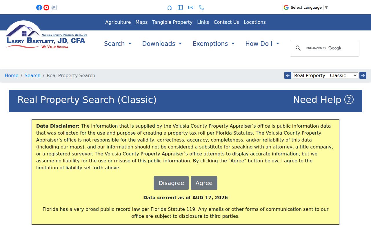
A broad result should be narrowed with city, ZIP, subdivision, or legal fields before any conclusion is made about a parcel.
The county service overview also documents the official access route used for current property records.
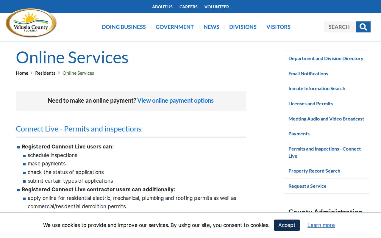
This county page is a useful fallback when a saved VCPA search address changes.
Map New Smyrna Beach Street Parcels
The Volusia GIS parcel viewer turns a street directory list into a block map. Search by address, Parcel ID, or AltKey, then click nearby polygons. The city viewer also searches roads and businesses and provides zoning, future-land-use, historic-district, flood, and airport-plan layers. Its parcel popup intentionally omits an owner name and links back to VCPA for the tax-roll record.
That handoff is important: GIS establishes where the parcel lies, while the Property Appraiser establishes the indexed owner and tax details. The Measure tool can show distance, but no verified radius-search function was found.
New Smyrna Beach Street Records
No single record is a complete New Smyrna Beach street directory. Current parcel data, mapped boundaries, recorded instruments, city case files, and historical address volumes each cover a distinct part of the street.
| Record Set | Keeper | What It Shows | Access |
|---|---|---|---|
| Property roll | Volusia Property Appraiser | Owner, situs, mailing address, exemptions | Free web search; office help |
| Parcel map | Volusia County and city GIS | Parcel shape, PID, district, zoning, neighbors | Free interactive viewers and PDFs |
| Deeds and plats | Volusia Clerk Recording Department | Transfers, indexed parties, legal description | Web from 1988; DeLand media to 1887 |
| Voter data | Volusia Supervisor of Elections | Nonexempt registration and address fields | Individual route or lawful records request |
| Permits and code | New Smyrna Beach or Volusia County | Work, cases, applicants, owners, agents | Inquiry portal, phone, or records request |
The parcel number ties the roll to the map, plats, and many permit records. The legal description survives more reliably than a street label. A voter registration supports registration at an address, but status changes and confidentiality programs prevent it from serving as a live household roster.
Read New Smyrna Beach Address Terms
Four terms keep a by-street search precise. They distinguish the mapped land, the place where the parcel sits, the recorded subdivision, and an older address-order directory.
- Parcel
- A mapped unit of land with its own Property Appraiser identifiers.
- Situs address
- The physical tax-roll address of the parcel, distinct from the owner's mailing address.
- Plat
- A recorded map that lays out a subdivision, blocks, lots, roads, and easements.
- Criss-cross directory
- An address-order directory used to find the name printed at a street address in a given year.
Beachside condominium ownership makes the situs and mailing split especially useful. An owner may receive tax mail elsewhere. Homestead status can strengthen an owner-occupancy theory, but neither field enumerates all occupants.
Trace New Smyrna Beach Street Owners
The Volusia Clerk Official Records index begins online on April 4, 1988. Search an owner as grantee, the party receiving property, and open the deed. Then search that deed's grantor, the party conveying it, to move backward. Instrument number, book and page, record type, date, and Plat Inquiry offer other routes.
Older New Smyrna Beach street directory research continues at the Recording Department in Volusia County Courthouse Room A121 in DeLand. Public research media reach 1887, and inspection is free. Historical original books benefit from an appointment. Staff can explain the equipment, but cannot perform a title or lien search. Web images are convenient copies; certified copies must come from the clerk.
Note: A deed identifies a title transfer, not who slept at the address or when each household member moved.
Check New Smyrna Beach Address Cases
The city adds building and compliance history by address. Online Permitting describes public Permit Inquiry and Parcel Inquiry routes. Permit records may name an owner, applicant, contractor, architect, or agent and date construction or alterations. Those roles are not proof of residence.
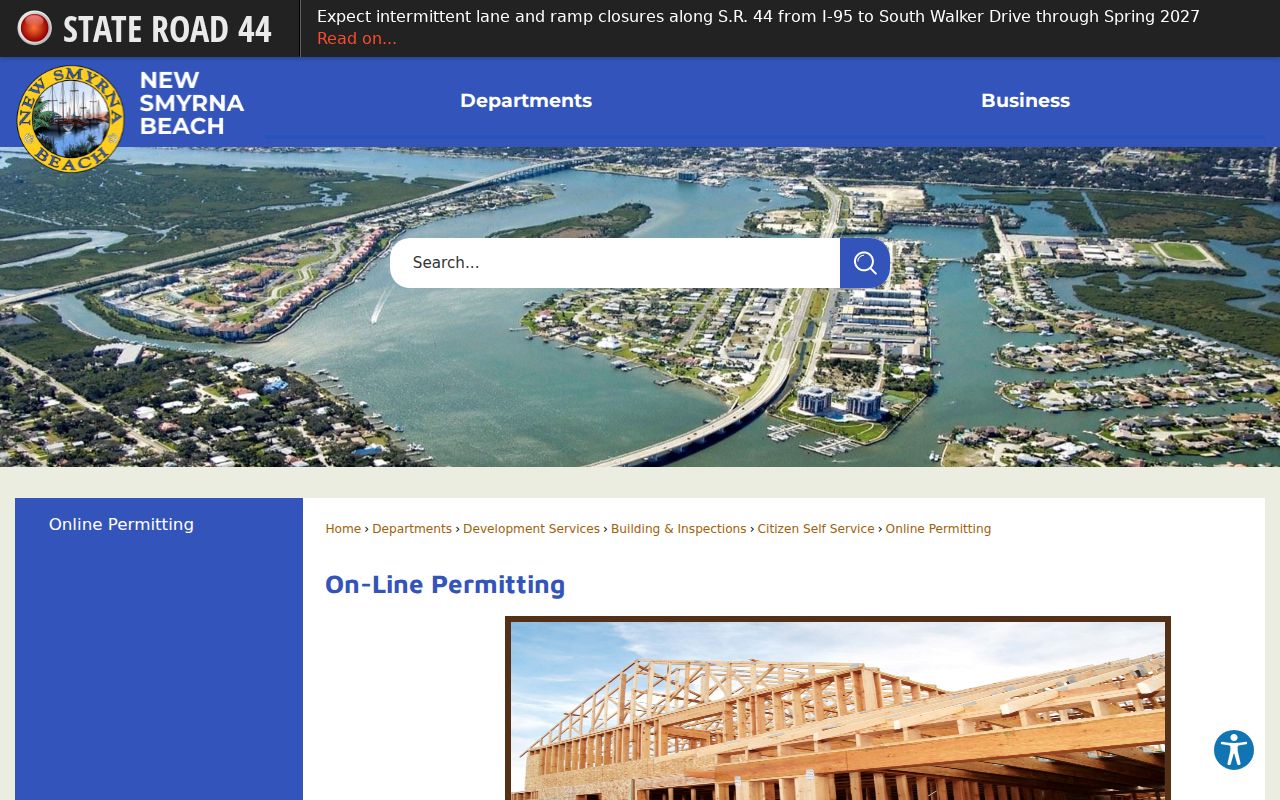
The portal supports public inquiry, while an account is needed to submit applications and manage transactions. Building and Inspections can also help at 214 Sams Avenue or 386-410-2860.
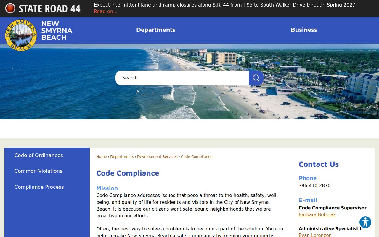
The Code Compliance office accepts a specific address or block and can produce cases, board packets, orders, liens, and named public participants. Call 386-410-2870 or request the full file when the web summary is thin.
Since July 2022, Volusia County handles several development services for unincorporated service-area parcels, so confirm city jurisdiction before choosing an office.
Resolve New Smyrna Beach Street Geography
A New Smyrna Beach mailing line does not settle city jurisdiction. ZIP codes handle delivery, city boundaries define municipal status, the Indian River Boulevard Service Area marks another service geography, and the VCPA tax district supplies tax context. Annexation may change the city status while the ZIP remains the same.
Use the city Maps and GIS page for boundary, annexation, street, district, and zoning maps. Use USPS for the mailing ZIP and VCPA for parcel facts. In VCPA Advanced search, keep Situs ZIP separate from Owner Mailing ZIP. This distinction prevents an out-of-area owner's mail destination from being counted as the property's location.
Geography check. Verify postal ZIP, city boundary, tax district, and parcel separately because each answers a different address question.
Extend a New Smyrna Beach Street Directory
For past occupants, use a directory edition with an address or criss-cross section. Verified New Smyrna Beach editions include 1947, 1950, 1954, and 1956 through 1960, with gaps. Sheldon Research Library holds local directories, newspapers, yearbooks, and family files by appointment. The full shelf and reading method belong on the New Smyrna Beach city directory page.
A missing name may reflect an absent edition, a changed spelling, seasonal status, suburban coverage, or listing under another household member. Pair the 1950 volume with the public 1950 census and keep the parcel's legal description at hand. Modern subdivision development and later condominium projects can also explain why an old street directory has no matching address.
Monitor New Smyrna Beach Recorded Names
The Volusia Property Fraud Alert is a free name-monitoring service. It reports matching recorded documents within 48 hours and supplies an instrument number that can be checked in Official Records. The alert does not block recording and does not prove fraud.
Use it after a street search reveals the correct owner spelling or business name. Review the indexed instrument, compare the legal description, and contact the clerk or law enforcement through official numbers if a document appears suspicious. This timely service complements the street directory workflow without turning it into continuous household tracking.
Limits of New Smyrna Beach Street Records
A street directory assembled from public sources cannot name every renter, child, relative, guest, or utility customer. DMV and delivery information are protected. Voter data has confidential fields and lawful-use limits, and protected residents may have addresses suppressed. Property ownership, a homestead flag, or an active registration supports a dated fact but does not prove current physical occupancy.
Use official records for family history, deed review, civic research, seller verification, and other lawful personal purposes. Record the source date and verify important findings with the custodian. Do not infer private household facts from silence in an index.
Lawful use. Florida public access does not permit stalking, harassment, intimidation, impersonation, or attempts to defeat protected-address rules.